Datoteka:Mole Valley UK locator map.svg
Prijeđi na navigaciju
Prijeđi na pretragu

Veličina ovog PNG-pregleda ove SVG-datoteke: 790 × 599 piksela. Druge rezolucije: 317 × 240 piksela | 633 × 480 piksela | 1.013 × 768 piksela | 1.280 × 971 piksela | 2.560 × 1.942 piksela | 1.425 × 1.081 piksela.
Izvorna datoteka (SVG fajl, nominalno 1.425 × 1.081 piksela, veličina fajla: 948 kB)
| Opis |
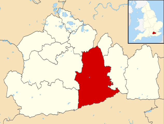
Map of Surrey, UK with Mole Valley highlighted. Equirectangular map projection on WGS 84 datum, with N/S stretched 160% |
| Datum | |
| Izvor |
|
| Autor | Nilfanion, created using Ordnance Survey data |
| Dopuštenje (Ponovna upotreba ove datoteke) |
Ova datoteka dostupna je pod licencom Creative Commons Attribution-Share Alike 3.0 Unported licencom. Pripisivanje: Contains Ordnance Survey data © Crown copyright and database right
|
Historija datoteke
Kliknite na datum/vrijeme da biste vidjeli tadašnju verziju datoteke.
| Datum/vrijeme | Minijatura | Dimenzije | Korisnik | Komentar | |
|---|---|---|---|---|---|
| aktualna | 11:26, 2 august 2011 | | 1.425 × 1.081 (948 kB) | Nilfanion | {{Information |Description=Map of Surrey, UK with Mole Valley highlighted. Equirectangular map projection on WGS 84 datum, with N/S stretched 160% |Source=Ordnance Survey [https://www.ordnancesurvey.co |
Upotreba datoteke
Sljedeća stranica koristi ovu datoteku:
Globalna upotreba datoteke
Ovu datoteku upotrebljavaju i sljedeći projekti:
- Upotreba na projektu cy.wikipedia.org
- Upotreba na projektu en.wikipedia.org
- Dorking
- Ashtead
- Leatherhead
- Fetcham
- Great Bookham
- Little Bookham
- Mole Valley
- Box Hill, Surrey
- City of London Freemen's School
- Abinger Hammer
- Leith Hill
- Headley Court
- Denbies Wine Estate
- Brockham
- Mickleham, Surrey
- Charlwood
- Westcott, Surrey
- St John's School, Leatherhead
- Polesden Lacey
- Bookham Commons
- Newdigate
- Abinger
- Betchworth
- Buckland, Surrey
- Westhumble
- Leatherhead F.C.
- Dorking F.C.
- The Ashcombe School
- Bookham F.C.
- Ashtead Common
- Bocketts Farm
- Headley, Surrey
- Ashtead railway station
- Mullard Space Science Laboratory
- Box Hill & Westhumble railway station
- Cherkley Court
- Leatherhead railway station
- Dorking railway station
- Holmwood railway station
- Ockley railway station
- Downsend School
- Box Hill School
- Bookham railway station
- Betchworth railway station
- Dorking West railway station
- Church of St Mary, Fetcham
- Dorking Deepdene railway station
- Leigh, Surrey
- St Andrew's Catholic School