Datoteka:De wit 1680 monemvasia b.jpg
Izvorna datoteka (1.836 × 1.457 piksela, veličina datoteke/fajla: 685 kB, MIME tip: image/jpeg)
| Opis |
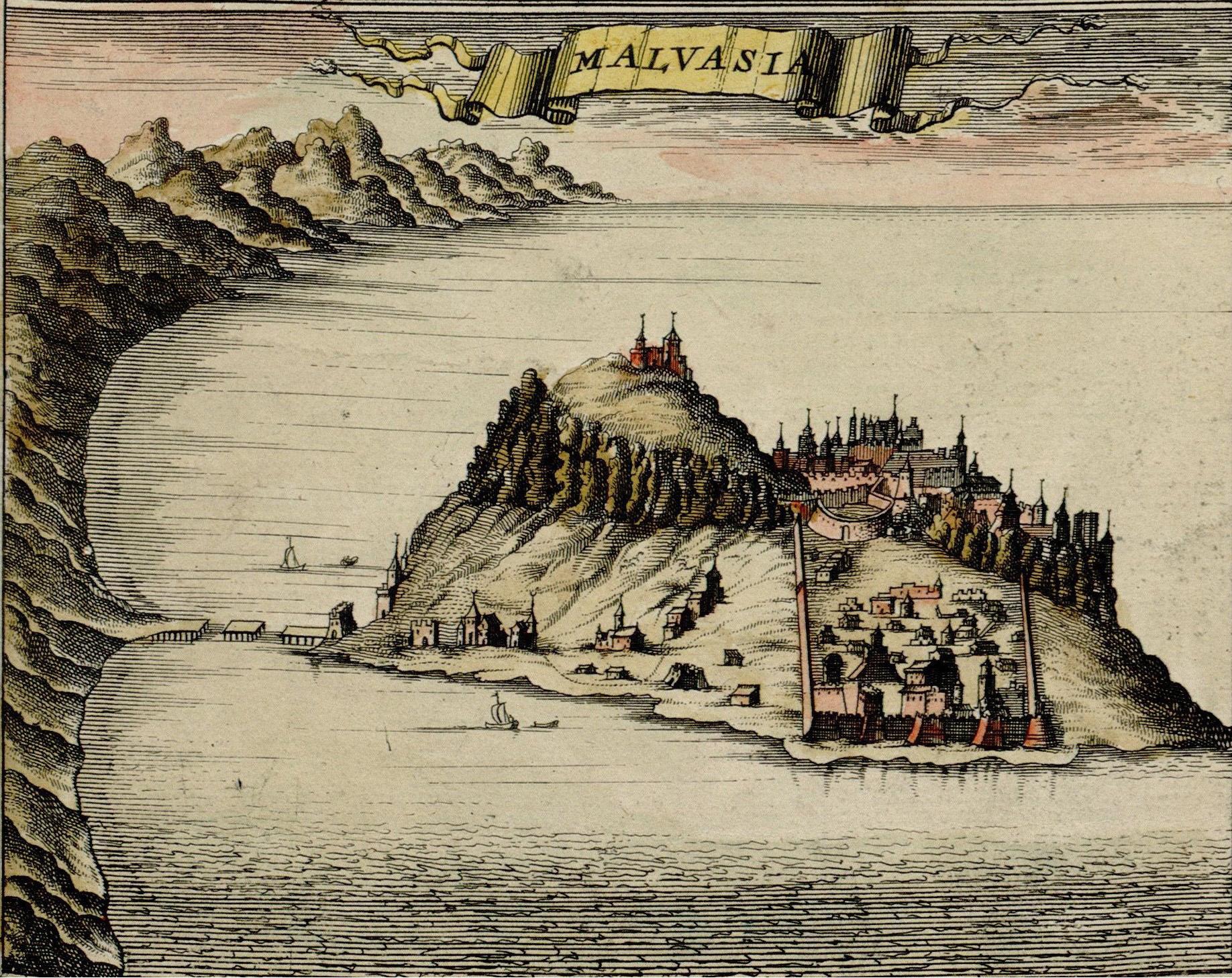
Monemvasia, at the time ruled by the Ottoman Empire, Map made by F. de Witt, Amsterdam, 1680, |
| Datum | |
| Izvor | http://historic-cities.huji.ac.il/greece/monemvasia/maps/de_wit_1680_monemvasia.html |
| Autor | F. de Witt |
| Dopuštenje (Ponovna upotreba ove datoteke) |
Public domain |
|
This is a faithful photographic reproduction of a two-dimensional, public domain work of art. The work of art itself is in the public domain for the following reason:
The official position taken by the Wikimedia Foundation is that "faithful reproductions of two-dimensional public domain works of art are public domain".
This photographic reproduction is therefore also considered to be in the public domain in the United States. In other jurisdictions, re-use of this content may be restricted; see Reuse of PD-Art photographs for details. | ||||
| Image taken from: http://historic-cities.huji.ac.il/greece/monemvasia/maps/de_wit_1680_monemvasia.html
Department of Geography, The Hebrew University of Jerusalem |
Historija datoteke
Kliknite na datum/vrijeme da biste vidjeli tadašnju verziju datoteke.
| Datum/vrijeme | Minijatura | Dimenzije | Korisnik | Komentar | |
|---|---|---|---|---|---|
| aktualna | 23:38, 9 oktobar 2006 | | 1.836 × 1.457 (685 kB) | Jkelly | Removed "copyright" watermark. |
| 20:19, 6 septembar 2005 |  | 1.836 × 1.506 (1,32 MB) | Ulrichstill | {{Information| |Description = Monemvasia, at the time a venician city, Map made by F. de Witt, Amsterdam, 1680,<br> Beschreibung: Monemvasia, damals venetianisch. |Source = http://historic-cities.huji.ac.il/greece/monemvasia/maps/de_wit_1680_monemvasia.ht |
Upotreba datoteke
Sljedeća stranica koristi ovu datoteku:
Globalna upotreba datoteke
Ovu datoteku upotrebljavaju i sljedeći projekti:
- Upotreba na projektu de.wikipedia.org
- Upotreba na projektu en.wikipedia.org
- Upotreba na projektu eo.wikipedia.org
- Upotreba na projektu es.wikipedia.org
- Upotreba na projektu fr.wikipedia.org
- Upotreba na projektu hy.wikipedia.org
- Upotreba na projektu ja.wikipedia.org
- Upotreba na projektu la.wikipedia.org
- Upotreba na projektu mk.wikipedia.org
- Upotreba na projektu no.wikipedia.org
- Upotreba na projektu pt.wikipedia.org
- Upotreba na projektu ru.wikipedia.org
- Upotreba na projektu sl.wikipedia.org
- Upotreba na projektu tr.wikipedia.org
- Upotreba na projektu uk.wikipedia.org
- Upotreba na projektu vec.wikipedia.org
- Upotreba na projektu zh.wikipedia.org