Datoteka:Canterbury UK locator map.svg
Prijeđi na navigaciju
Prijeđi na pretragu

Veličina ovog PNG-pregleda ove SVG-datoteke: 800 × 561 piksela. Druge rezolucije: 320 × 225 piksela | 640 × 449 piksela | 1.024 × 719 piksela | 1.280 × 898 piksela | 2.560 × 1.796 piksela | 1.425 × 1.000 piksela.
Izvorna datoteka (SVG fajl, nominalno 1.425 × 1.000 piksela, veličina fajla: 1,18 MB)
| Opis |
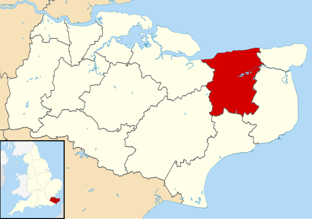
Map of Kent, UK with Canterbury highlighted. Equirectangular map projection on WGS 84 datum, with N/S stretched 160% |
| Datum | |
| Izvor |
|
| Autor | Nilfanion, created using Ordnance Survey data |
| Dopuštenje (Ponovna upotreba ove datoteke) |
Ova datoteka dostupna je pod licencom Creative Commons Attribution-Share Alike 3.0 Unported licencom. Pripisivanje: Contains Ordnance Survey data © Crown copyright and database right
|
Historija datoteke
Kliknite na datum/vrijeme da biste vidjeli tadašnju verziju datoteke.
| Datum/vrijeme | Minijatura | Dimenzije | Korisnik | Komentar | |
|---|---|---|---|---|---|
| aktualna | 11:06, 2 august 2011 | | 1.425 × 1.000 (1,18 MB) | Nilfanion | {{Information |Description=Map of Kent, UK with Canterbury highlighted. Equirectangular map projection on WGS 84 datum, with N/S stretched 160% |Source=Ordnance Survey [https://www.ordnancesurvey. |
Upotreba datoteke
Sljedeća stranica koristi ovu datoteku:
Globalna upotreba datoteke
Ovu datoteku upotrebljavaju i sljedeći projekti:
- Upotreba na projektu ar.wikipedia.org
- Upotreba na projektu azb.wikipedia.org
- Upotreba na projektu br.wikipedia.org
- Upotreba na projektu cy.wikipedia.org
- Upotreba na projektu en.wikipedia.org
- Canterbury
- Herne Bay
- Whitstable
- Fordwich
- City of Canterbury
- Reculver
- Sturry
- Westbere
- Chartham
- Adisham
- Harbledown
- Bishopsbourne
- Herne and Broomfield
- Blean
- Barham, Kent
- Bekesbourne-with-Patrixbourne
- Upper Harbledown
- Marshside, Kent
- Chislet
- Womenswold
- Chestfield
- Hoath
- Template:Canterbury
- Bekesbourne
- Bridge, Kent
- Hackington
- Herne, Kent
- Hersden
- Patrixbourne
- Ickham and Well
- Kingston, Kent
- Littlebourne
- Lower Hardres
- Upper Hardres
- Petham
- Yorkletts
- Tankerton
- Wickhambreaux
- Thanington
- Wincheap
- Swalecliffe
- Tyler Hill, Kent
- Beltinge
- Waltham, Kent
- Rough Common
- Broad Oak, Kent