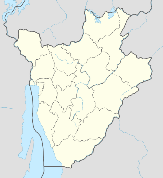
Datoteka:Burundi adm location map.svg

Izvorna datoteka (SVG fajl, nominalno 624 × 680 piksela, veličina fajla: 93 kB)
Opis izmjene
| Opis |
Deutsch: Positionskarte von Burundi
English: Location map of Burundi
Français : Carte de géolocalisation du Burundi
|
||||||||||||
| Datum | |||||||||||||
| Izvor |
Own work using:
|
||||||||||||
| Autor | NordNordWest | ||||||||||||
| Ostale verzije |
|
||||||||||||
_location_map.svg)


|
This map has been made or improved in the German Kartenwerkstatt (Map Lab). You can propose maps to improve as well.
|
Licenciranje
Usage of this file with:

explanatory notes: Legally binding is only the full legalcode. For a free usage I recommend to respect the following licence conditions:
1. Provide my name as given above: NordNordWest,
2. a copy of, or the URI for, the applicable license: https://creativecommons.org/licenses/by-sa/3.0/de/legalcode,
3. the title of the work,
4. in the case of an adaptation, a credit identifying the use of the work in the adaptation.
This license and the rights granted hereunder will terminate automatically upon any breach by you of the terms of this license. Any of the above conditions can be waived if you get permission from the copyright holder. If you have questions or wish differing conditions, please contact me through nnwest or my discussion page ![]() t-online.de
t-online.de
- Slobodno smijete:
- dijeliti – umnožavati, raspodjeljivati i prenositi djelo
- prerađivati – prilagođavati djelo
- Pod sljedećim uslovima:
- pripisivanje – Morate pripisati odgovarajuće autorske zasluge, osigurati link ka licenci i naznačiti jesu li napravljene izmjene. To možete uraditi na bilo koji razumni način, ali ne tako da se sugerira da davalac licence odobrava Vas ili Vašu upotrebu njegovog djela.
- dijeljenje pod istim uslovima – Ako mijenjate, transformišete ili nadograđujete ovaj materijal, morate ga objaviti i distribuirati samo pod istom ili sličnom licencom poput ove.

Historija datoteke
Kliknite na datum/vrijeme da biste vidjeli tadašnju verziju datoteke.
| Datum/vrijeme | Minijatura | Dimenzije | Korisnik | Komentar | |
|---|---|---|---|---|---|
| aktualna | 19:26, 15 septembar 2015 | | 624 × 680 (93 kB) | NordNordWest | upd |
| 17:25, 1 decembar 2014 |  | 624 × 680 (91 kB) | NordNordWest | == {{int:filedesc}} == {{Information |Description= {{de|1=Positionskarte von Burundi}} {{en|1=Location map of Burundi}} {{Location map series N |stretching=100 |top=-2.2 |bottom=-4.6 |left=28.8 |right=31.0 }} |Source={{Own using}} * United States Natio... |
Upotreba datoteke
Sljedeća stranica koristi ovu datoteku:
Globalna upotreba datoteke
Ovu datoteku upotrebljavaju i sljedeći projekti:
- Upotreba na projektu af.wikipedia.org
- Upotreba na projektu an.wikipedia.org
- Upotreba na projektu ast.wikipedia.org
- Upotreba na projektu azb.wikipedia.org
- Upotreba na projektu bn.wikipedia.org
- Upotreba na projektu ceb.wikipedia.org