Datoteka:Tunisian Republic location map.svg
Prijeđi na navigaciju
Prijeđi na pretragu

Veličina ovog PNG-pregleda ove SVG-datoteke: 318 × 598 piksela. Druge rezolucije: 127 × 240 piksela | 255 × 480 piksela | 408 × 768 piksela | 544 × 1.024 piksela | 1.088 × 2.048 piksela | 379 × 713 piksela.
Izvorna datoteka (SVG fajl, nominalno 379 × 713 piksela, veličina fajla: 176 kB)
Opis izmjene
| Opis |
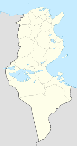
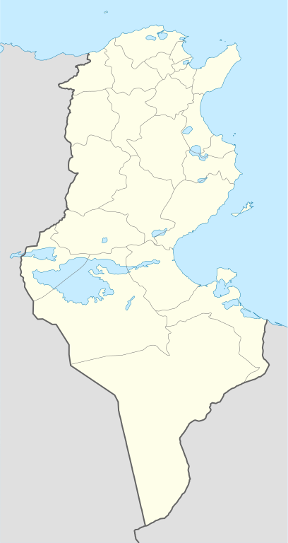
Deutsch: Positionskarte von Tunesien
Quadratische Plattkarte, N-S-Streckung 115 %. Geographische Begrenzung der Karte:
English: Location map of Tunisia
Equirectangular projection, N/S stretching 115 %. Geographic limits of the map:
|
| Datum | |
| Izvor |
own work, using
|
| Autor | NordNordWest |
| Ostale verzije |
Derivative works of this file: |

|
This map has been made or improved in the German Kartenwerkstatt (Map Lab). You can propose maps to improve as well.
|
Licenciranje
Ja, vlasnik autorskog prava ovog djela, ovdje ga objavljujem pod sljedećim licencama:

|
Dopušteno je umnožavanje, dijeljenje i mijenjanje ovog dokumenta pod uslovima GNU-ove licence za slobodnu dokumentaciju, verzije 1.2 ili bilo koje novije koju objavi Fondacija za slobodni softver; bez nepromjenljivih odjeljaka i bez tekstova na naslovnoj i zadnjoj strani. Tekst licence možete pročitati ovdje. |
Ova datoteka dostupna je pod licencom Creative Commons Attribution-Share Alike 3.0 Unported licencom.
- Slobodno smijete:
- dijeliti – umnožavati, raspodjeljivati i prenositi djelo
- prerađivati – prilagođavati djelo
- Pod sljedećim uslovima:
- pripisivanje – Morate pripisati odgovarajuće autorske zasluge, osigurati link ka licenci i naznačiti jesu li napravljene izmjene. To možete uraditi na bilo koji razumni način, ali ne tako da se sugerira da davalac licence odobrava Vas ili Vašu upotrebu njegovog djela.
- dijeljenje pod istim uslovima – Ako mijenjate, transformišete ili nadograđujete ovaj materijal, morate ga objaviti i distribuirati samo pod istom ili sličnom licencom poput ove.
Možete odabrati licencu po vašem izboru.
Historija datoteke
Kliknite na datum/vrijeme da biste vidjeli tadašnju verziju datoteke.
| Datum/vrijeme | Minijatura | Dimenzije | Korisnik | Komentar | |
|---|---|---|---|---|---|
| aktualna | 13:54, 29 oktobar 2010 | | 379 × 713 (176 kB) | NordNordWest | an equirectangular projection cannot have just one scale |
| 13:38, 29 oktobar 2010 |  | 379 × 714 (180 kB) | Dyolf77 | adding a filometer scale | |
| 20:07, 17 juli 2008 |  | 379 × 713 (176 kB) | NordNordWest | {{Information |Description= {{de|Positionskarte von Tunesien}} Quadratische Plattkarte, N-S-Streckung 115 %. Geographische Begrenzung der Karte: * N: 37.7° N * S: 30.0° N * W: 7.2° O * O: 11.9° O {{en|Location map of [[:en:Tunisia|Tun |
Upotreba datoteke
Nema stranica koje koriste ovu datoteku.
Globalna upotreba datoteke
Ovu datoteku upotrebljavaju i sljedeći projekti:
- Upotreba na projektu ce.wikipedia.org
- Upotreba na projektu ckb.wikipedia.org
- Upotreba na projektu de.wikipedia.org
- Upotreba na projektu de.wikivoyage.org
- Upotreba na projektu el.wikipedia.org
- Upotreba na projektu en.wikipedia.org
- Upotreba na projektu eo.wikipedia.org
- Upotreba na projektu es.wikipedia.org
- Upotreba na projektu eu.wikipedia.org
- Upotreba na projektu fa.wikipedia.org
- Upotreba na projektu fr.wikipedia.org
- Upotreba na projektu fr.wikinews.org
- Upotreba na projektu gl.wikipedia.org
- Upotreba na projektu he.wikivoyage.org
- Upotreba na projektu hr.wiktionary.org
- Upotreba na projektu hy.wikipedia.org