Datoteka:Montenegro location map.svg
Prijeđi na navigaciju
Prijeđi na pretragu

Veličina ovog PNG-pregleda ove SVG-datoteke: 496 × 600 piksela. Druge rezolucije: 198 × 240 piksela | 397 × 480 piksela | 635 × 768 piksela | 847 × 1.024 piksela | 1.694 × 2.048 piksela | 1.063 × 1.285 piksela.
Izvorna datoteka (SVG fajl, nominalno 1.063 × 1.285 piksela, veličina fajla: 85 kB)
Opis izmjene
| Opis |
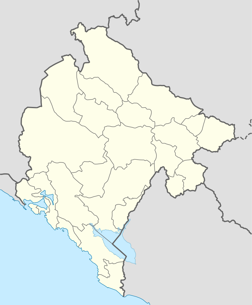
Deutsch: Positionskarte von Montenegro
Quadratische Plattkarte, N-S-Streckung 140 %. Geographische Begrenzung der Karte:
English: Location map of Montenegro
Equirectangular projection, N/S stretching 140 %. Geographic limits of the map:
|
| Datum | 01-08-2008 |
| Izvor | own work, using United States National Imagery and Mapping Agency data |
| Autor | NordNordWest |
| Ostale verzije |
|


|
This map has been made or improved in the German Kartenwerkstatt (Map Lab). You can propose maps to improve as well.
|
Licenciranje
Ja, vlasnik autorskog prava ovog djela, ovdje ga objavljujem pod sljedećim licencama:

|
Dopušteno je umnožavanje, dijeljenje i mijenjanje ovog dokumenta pod uslovima GNU-ove licence za slobodnu dokumentaciju, verzije 1.2 ili bilo koje novije koju objavi Fondacija za slobodni softver; bez nepromjenljivih odjeljaka i bez tekstova na naslovnoj i zadnjoj strani. Tekst licence možete pročitati ovdje. |
Ova datoteka dostupna je pod licencom Creative Commons Attribution-Share Alike 3.0 Unported licencom.
- Slobodno smijete:
- dijeliti – umnožavati, raspodjeljivati i prenositi djelo
- prerađivati – prilagođavati djelo
- Pod sljedećim uslovima:
- pripisivanje – Morate pripisati odgovarajuće autorske zasluge, osigurati link ka licenci i naznačiti jesu li napravljene izmjene. To možete uraditi na bilo koji razumni način, ali ne tako da se sugerira da davalac licence odobrava Vas ili Vašu upotrebu njegovog djela.
- dijeljenje pod istim uslovima – Ako mijenjate, transformišete ili nadograđujete ovaj materijal, morate ga objaviti i distribuirati samo pod istom ili sličnom licencom poput ove.
Možete odabrati licencu po vašem izboru.
Historija datoteke
Kliknite na datum/vrijeme da biste vidjeli tadašnju verziju datoteke.
| Datum/vrijeme | Minijatura | Dimenzije | Korisnik | Komentar | |
|---|---|---|---|---|---|
| aktualna | 18:57, 21 mart 2022 | | 1.063 × 1.285 (85 kB) | NordNordWest | Tuzi |
| 09:46, 27 juni 2017 |  | 1.063 × 1.285 (83 kB) | NordNordWest | upd | |
| 11:41, 14 april 2014 |  | 1.063 × 1.285 (86 kB) | NordNordWest | upd | |
| 18:24, 22 septembar 2009 |  | 1.063 × 1.285 (147 kB) | NordNordWest | ||
| 10:24, 29 august 2008 |  | 1.065 × 1.285 (116 kB) | NordNordWest | ||
| 22:25, 1 august 2008 |  | 355 × 428 (113 kB) | NordNordWest | {{Information |Description= {{de|Positionskarte von Montenegro}} Quadratische Plattkarte, N-S-Streckung 140 %. Geographische Begrenzung der Karte: * N: 43.7° N * S: 41.8° N * W: 18.3° O * O: 20.5° O {{en|Location map of [[:en:Monten |
Upotreba datoteke
Nema stranica koje koriste ovu datoteku.
Globalna upotreba datoteke
Ovu datoteku upotrebljavaju i sljedeći projekti:
- Upotreba na projektu af.wikipedia.org
- Upotreba na projektu ar.wikipedia.org
- Upotreba na projektu az.wikipedia.org
- Upotreba na projektu be-tarask.wikipedia.org
- Upotreba na projektu bg.wikipedia.org
- Upotreba na projektu bn.wikipedia.org
- Upotreba na projektu ceb.wikipedia.org