Datoteka:Detailed map of Matfield Green, Kansas.png
Prijeđi na navigaciju
Prijeđi na pretragu
Veća rezolucija nije dostupna.
Detailed_map_of_Matfield_Green,_Kansas.png (575 × 425 piksela, veličina datoteke/fajla: 11 kB, MIME tip: image/png)
| Opis |
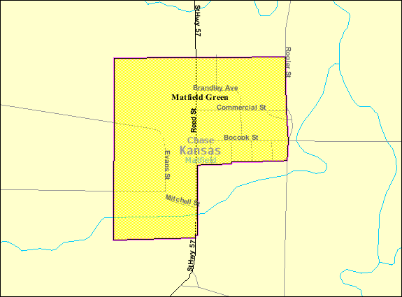
English: Map of Matfield Green, Kansas |
|||
| Datum | Nepoznat datum; downloaded 9 September 2010 | |||
| Izvor | , from http://factfinder.census.gov | |||
| Autor | United States Census Bureau | |||
| Dopuštenje (Ponovna upotreba ove datoteke) |
|

Izvorna evidencija postavljanja
| Datum/vrijeme | Dimenzije | Korisnik | Komentar |
|---|---|---|---|
| 10. septembar 2010., 03:48:22 | 575 × 425 (13502 bytes) | Sbmeirow (razgovor · doprinos) | {{Information |Description={{en|1=Map of {{w|Matfield Green, Kansas}}}} |Source=http://factfinder.census.gov/servlet/MapItDrawServlet?geo_id=16000US2045150&_bucket_id=50&tree_id=420&context=saff&_lang=en&_sse=on , from http://factfinder.census.gov |Author |
Historija datoteke
Kliknite na datum/vrijeme da biste vidjeli tadašnju verziju datoteke.
| Datum/vrijeme | Minijatura | Dimenzije | Korisnik | Komentar | |
|---|---|---|---|---|---|
| aktualna | 08:26, 11 decembar 2014 | | 575 × 425 (11 kB) | GifTagger | Bot: Converting file to superior PNG file. (Source: Detailed_map_of_Matfield_Green,_Kansas.gif). This GIF was problematic due to non-greyscale color table. |
Upotreba datoteke
Sljedeća stranica koristi ovu datoteku:
Globalna upotreba datoteke
Ovu datoteku upotrebljavaju i sljedeći projekti:
- Upotreba na projektu en.wikipedia.org
- Upotreba na projektu fa.wikipedia.org